
Storm system brings heavy rain and mountain snow to U.S. Thursday
The National Weather Service warns of flash flooding risks in Texas and New Mexico as a cold front moves toward the Great Lakes.
By Michael Collins ·
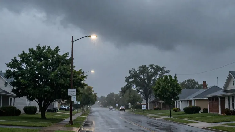
A weather system active across the United States on Thursday, October 29, is driving heavy rainfall, flash flooding risks, and snowfall in mountainous regions. The National Weather Service issued warnings for parts of the central and northeastern states, while the eastern portion of the country continues to experience temperatures above seasonal norms.
Conditions in the west have intensified since Wednesday, October 28. A storm system brought precipitation to Washington and Oregon, accompanied by snow in higher elevations. In the southwest, moisture moving north from the Gulf of Mexico increased the likelihood of heavy rain in Texas and surrounding areas. These conditions have led to water accumulation on streets, in low-lying zones, and on mountain terrain.
The National Weather Service predicts that rain and storms will strengthen across western and central Texas, as well as parts of the southern Great Plains. Some areas may receive rainfall at a rate of 1.5 to 2.5 inches per hour. This intensity elevates the risk of flash floods. The southern region of New Mexico also faces a high probability of heavy precipitation.
In the Pacific Northwest, rain will continue to fall in Washington and Oregon. Snow is expected in the Cascade Range and the northern Rocky Mountains. These conditions may make travel by road difficult for commuters and truckers in those states.
A cold front is moving from the Mississippi Valley toward the Great Lakes and the Northeast. Residents in these areas should expect rain and storms during the afternoon and evening hours. In contrast, the Ohio Valley, the Mid-Atlantic region, and the Southeast may see high temperatures ranging from 70 to 80 degrees Fahrenheit.
Looking ahead to Friday, October 30, heavy rain is forecast to continue in central and southern Arizona, maintaining the risk of flash floods. Precipitation will persist in the Pacific Northwest, with snow remaining in the mountains. The National Weather Service advises drivers to avoid flooded roads and to check local alerts before traveling.
The service notes that the current weather pattern is typical for late autumn transitions, where moisture from the Gulf interacts with cooler air masses. Local meteorologists in Cuyahoga County are monitoring the incoming cold front, which may bring cooler temperatures to the Cleveland area in the coming days.
Source: WQHS-DT · original report published
More News · Cleveland news · Report a business · Got a Story?